 Dhaka, Bangladesh


 SANn Asia Desk


India's space regulator IN-SPACe has selected three private companies to develop high-resolution, satellite-based 3D maps of the country's cities.
SpacePixxel Technologies, KaleidEO Space Systems and Azista Industries will share seed funding of ₹1.46 crore to build an indigenous system that reconstructs India's built environment in 3D from single satellite images.
The project responds to a NITI Aayog requirement for accurate data on human settlements for urban planning, infrastructure, disaster risk assessment and population estimates.
The companies will use Earth observation data to map built-up areas and building types, building heights and built-up volume, showing how Indian cities are spreading and becoming denser.
Source: The Hindu · Source date: 2026-11-17.
Report compiled by the SANn Asia desk from the linked source.
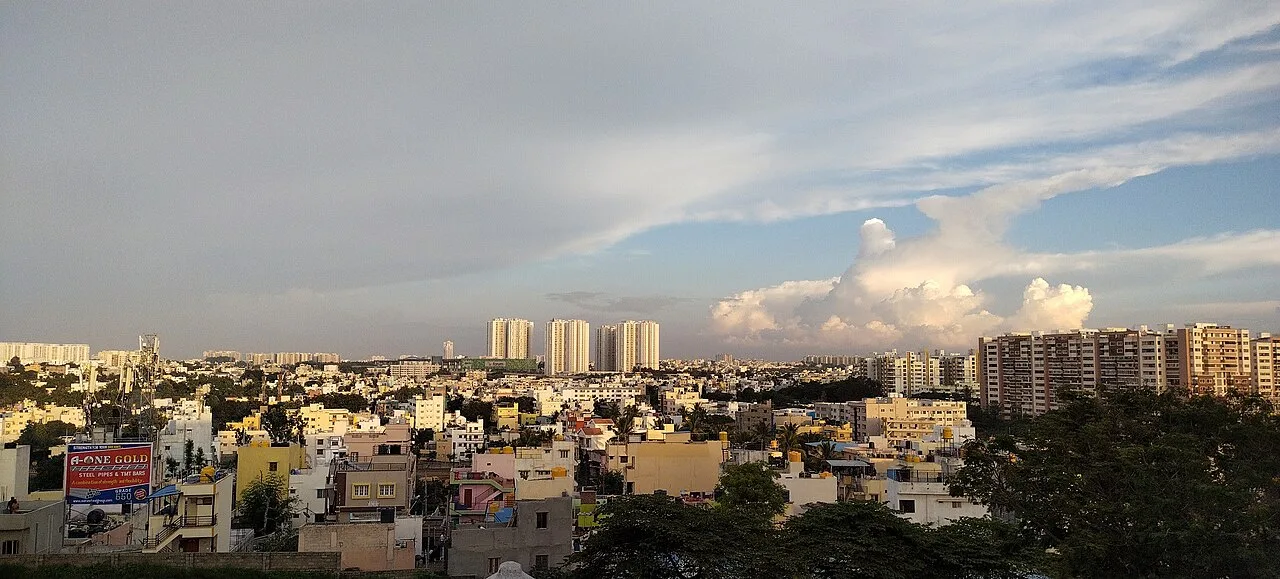
File photo: South Bengaluru Skyline as seen from ISKCON, Banashankari.jpg — Raghavan2010. Wikimedia Commons original · CC BY-SA 4.0. Resized; cropped in cards. Representative image, not a photograph of the reported event.
